


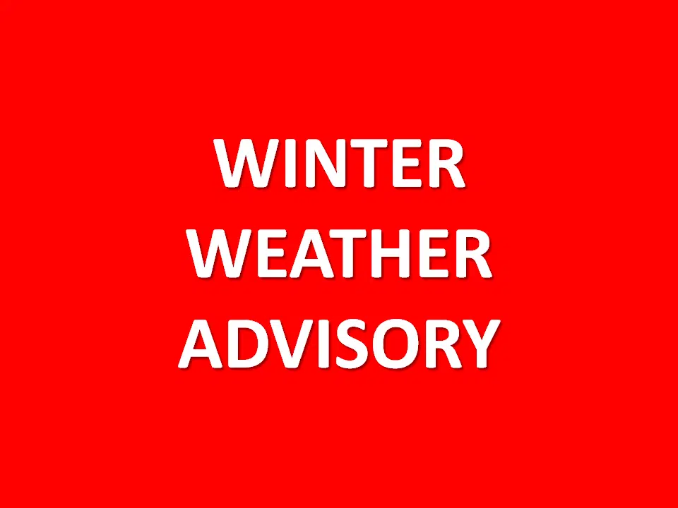
…WINTER WEATHER ADVISORY WILL BE IN EFFECT FROM 4 AM TO 10 AM CDT SUNDAY…
* WHAT…Snow expected. Total snow accumulations of 1 to 4 inches.
* WHERE…Portions of southwest Iowa and east central and southeast Nebraska, including the greater Omaha and Lincoln metro areas.
* IMPACTS…Plan on slippery road conditions where snowfall accumulates. Slow down and use caution while traveling. The latest road conditions for the state you are calling from can be obtained by calling 5 1 1.
Tonight and Sunday
Accumulating snowfall of 1 to 4 inches is possible after midnight along and 50 miles north and south of Interstate 80. Warm ground temperatures may allow much of the snow to melt, but snowfall rates should be high enough that snow begins to accumulate after 4. The heaviest snowfall will be from 4 am through 8 am. In addition, a few non-severe thunderstorms are possible along the Kansas and Nebraska border tonight.
Sunday Night through Saturday
Light snow is possible Monday night into Tuesday. Current projections are for a trace to 1 inch snowfall generally south of a line from Columbus NE to Omaha-Council Bluffs to Hancock IA.
Thunderstorms are possible Thursday night into Friday across southeast Nebraska. The potential for severe storms is uncertain this far out but stay tuned to later forecasts regarding the potential for active weather late in the school/work week.