


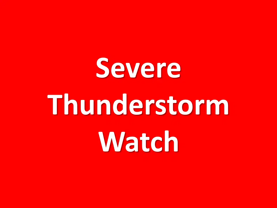
 A severe thunderstorm watch has been issued for parts of Iowa, Kansas and Nebraska until 10 PM CDT.
Strong to severe thunderstorms will continue to develop across northeast Nebraska through early evening, eventually becoming widespread and marching southeast across the entire forecast area.
Through 8 PM the primary hazards with the most intense storms will be isolated wind gusts up to 80 mph and isolated areas with hail up to 2 inches in diameter. There is also a very small chance for a tornado.
After 8 PM through the very early morning hours, the primary hazards will be broad swaths of 60 to 70 mph damaging winds and isolated areas with hail up to 1.5 inches in diameter. Pockets of heavy rainfall are also expected with localized flash flooding possible.