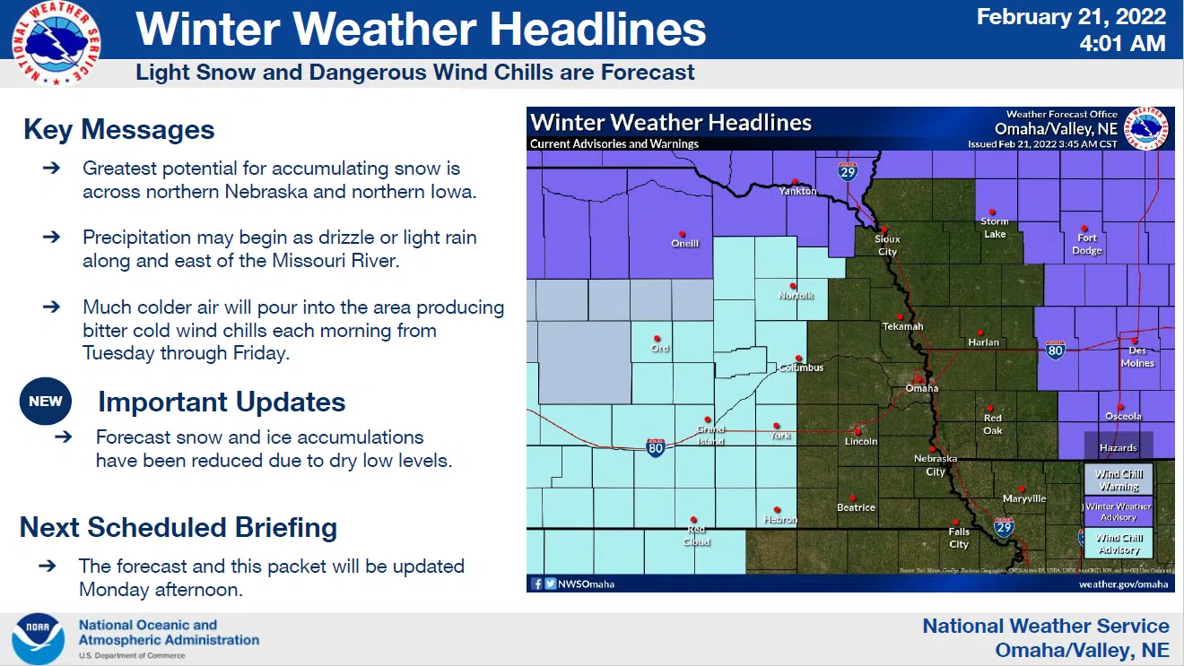
Today and Tonight: A significantly colder air mass will advance south through the area later today with light snow possible overnight. Some light freezing drizzle could mix in, especially over parts of far eastern Nebraska and southwest Iowa. Only a trace of ice accumulation is currently expected.
Tuesday through Sunday: Light snow may continue into Tuesday morning before ending. Accumulations should be generally an inch or less, and confined to locations north of I-80.
Otherwise, the arctic air mass will remain entrenched over the region into Friday.
Dangerous wind chills are expected during the nighttime hours from Tuesday night through Thursday night, especially over northeast Nebraska. Another storm system will likely bring accumulating snow to the region on Thursday.
The most recent National Weather Service details and maps are available here IDSS_Packet_-NWS_Omaha (1)