


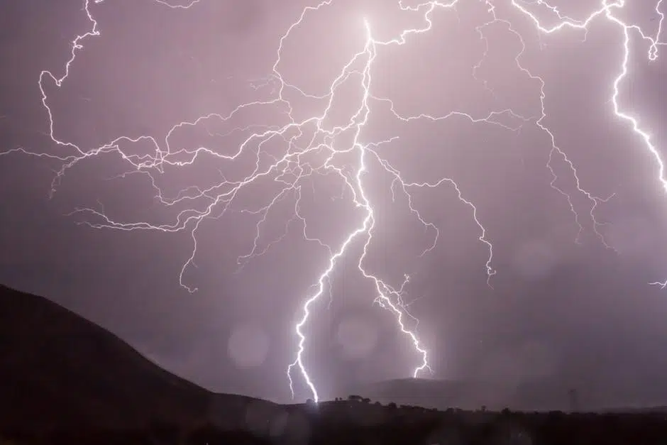
The National Weather Service is forecasting the possibility of strong to severe storms later this afternoon into this evening with the greatest threat being generally along and south of I-80. Very large hail and damaging wind gusts are the primary hazards with a tornado or two also possible.
Flash flooding will also be a concern, especially over far southeast Nebraska and southwest Iowa.
Friday through Wednesday: Strong to severe storms and some flash flooding will again be possible on Friday afternoon into the evening over portions of southeast Nebraska and southwest Iowa.
Periodic non-severe storm chances will exist this weekend into early next week.

